Modernizing Land Governance.
Asili LIMS provides a unified digital ecosystem for land records, spatial mapping, and automated approvals—ensuring transparency and security for every acre in Isiolo.
12k+
Digitized Titles100%
Secure Ledger24hr
Status Updates
Map Viewer
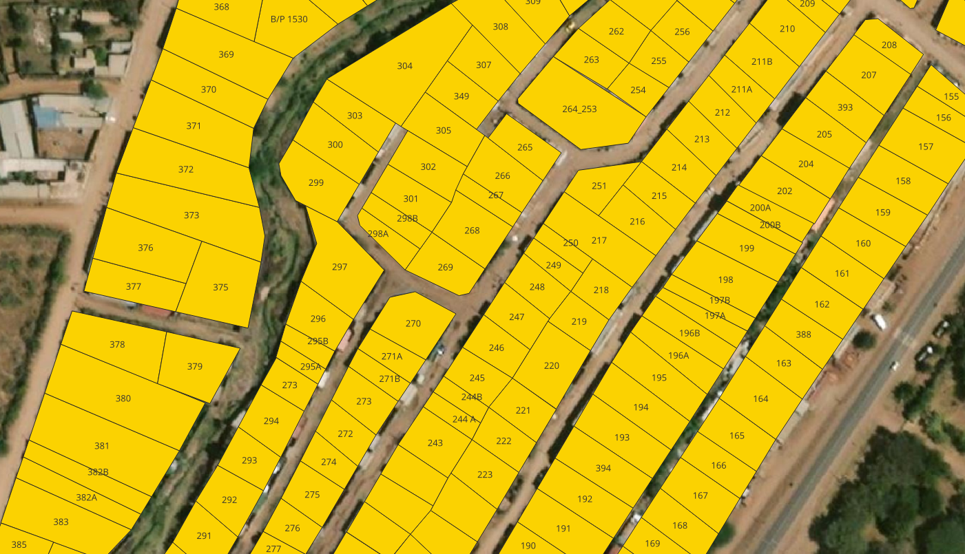
Live Coordinates Data
How it Works
Your journey from application to approval is fully digitized and traceable.
1
Digital Submission
Upload your IDs, Title Deeds, and Survey plans via our secure portal.
2
Technical Verification
County surveyors and planners verify spatial data against GIS layers.
3
Statutory Approval
Electronic sign-off by the CEC Member and relevant Land Boards.
4
Instant Notification
Receive your certified documents via email and your system dashboard.
Governance & Resources
Asili LIMS operates under the Land Act 2012 and the Physical and Land Use Planning Act. Access the latest gazetted notices and county zoning regulations here.
- Isiolo County Spatial Plan 2024-2034
- Land Valuation & Rating Act Guidelines
- Schedule of Fees & Levies (FY 2025/26)